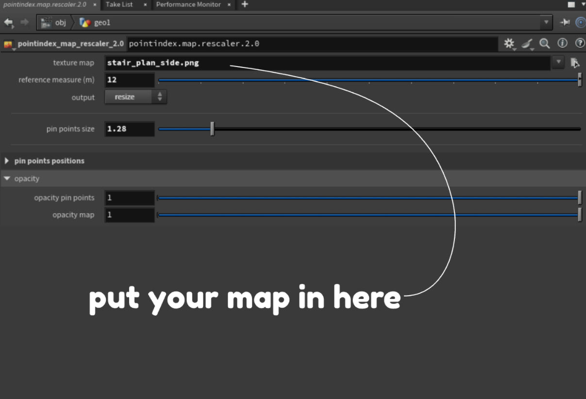
As a 3D artist, I’ve worked on many projects that required accurate measurements, especially for architectural jobs. Since I often work with maps and architectural plans as backplates, it made sense to create a tool that takes the measurements from a plan and resizes the backplate correctly.

Your map or plan should include at least one reference measurement.

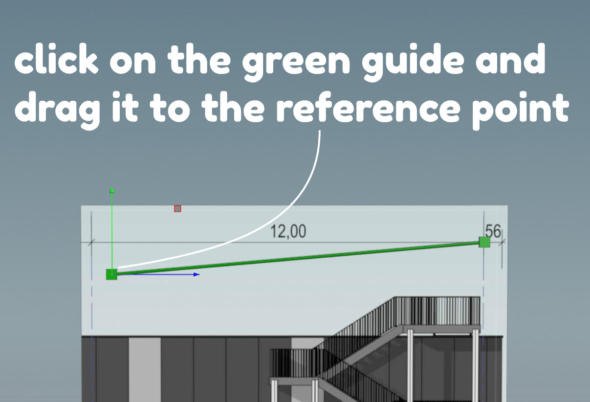
With just a click and drag, you can move the guide cubes along to the reference point.

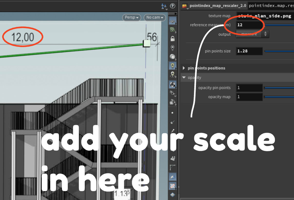
Add the measurement reference value that your distance should correspond to.

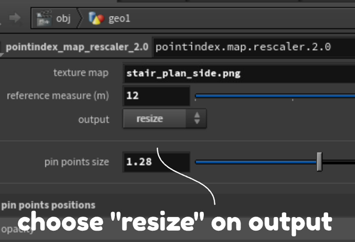
Then, select the 'resize' option in the output to scale your map.
..................................................
